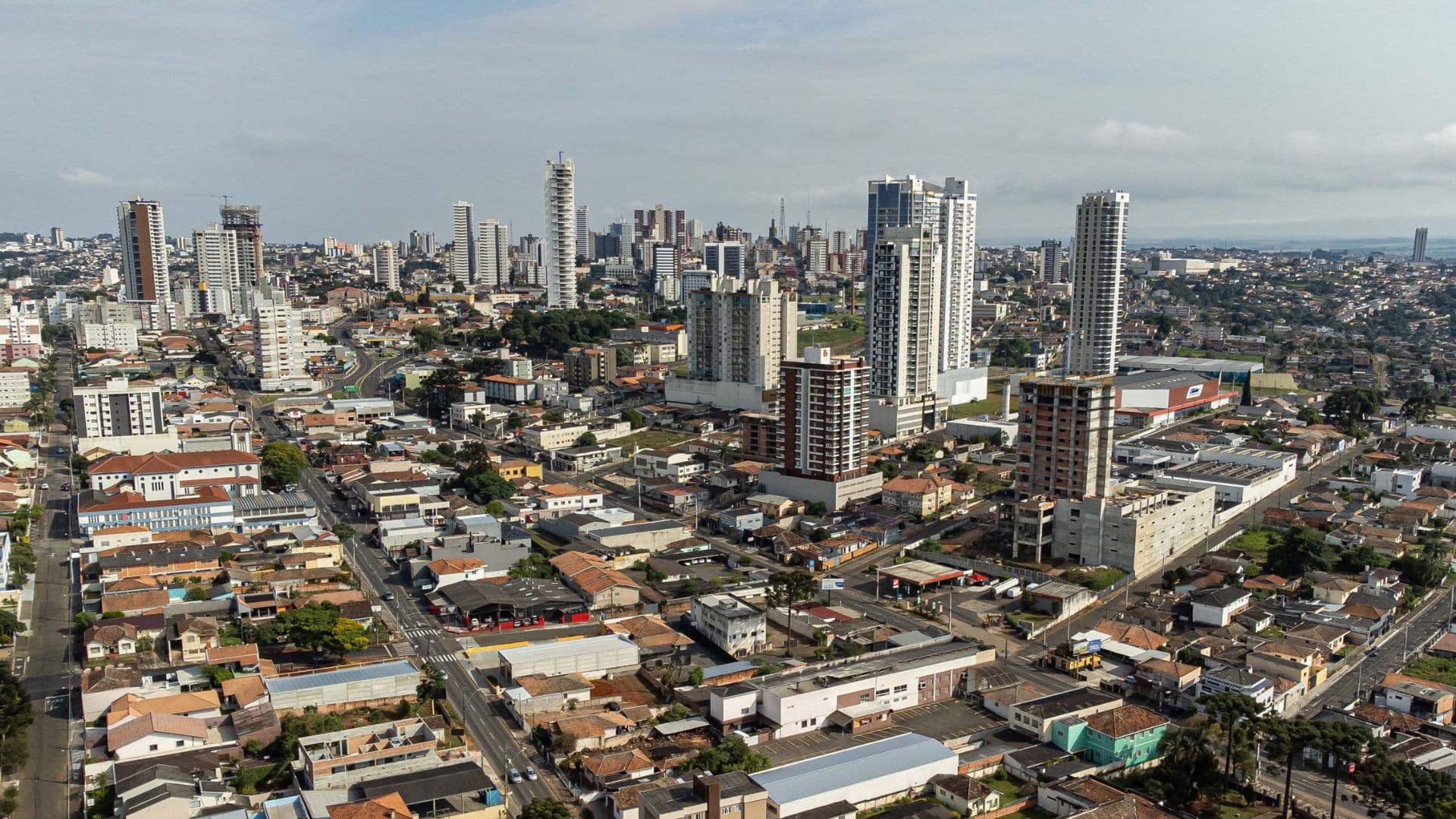
Cyclone moves away, but storms and hail threaten Paraná on this Friday
West, southwest and south of the state are among the areas to watch; in Rio Grande do Sul, rain may reach 200 mm in isolated spots

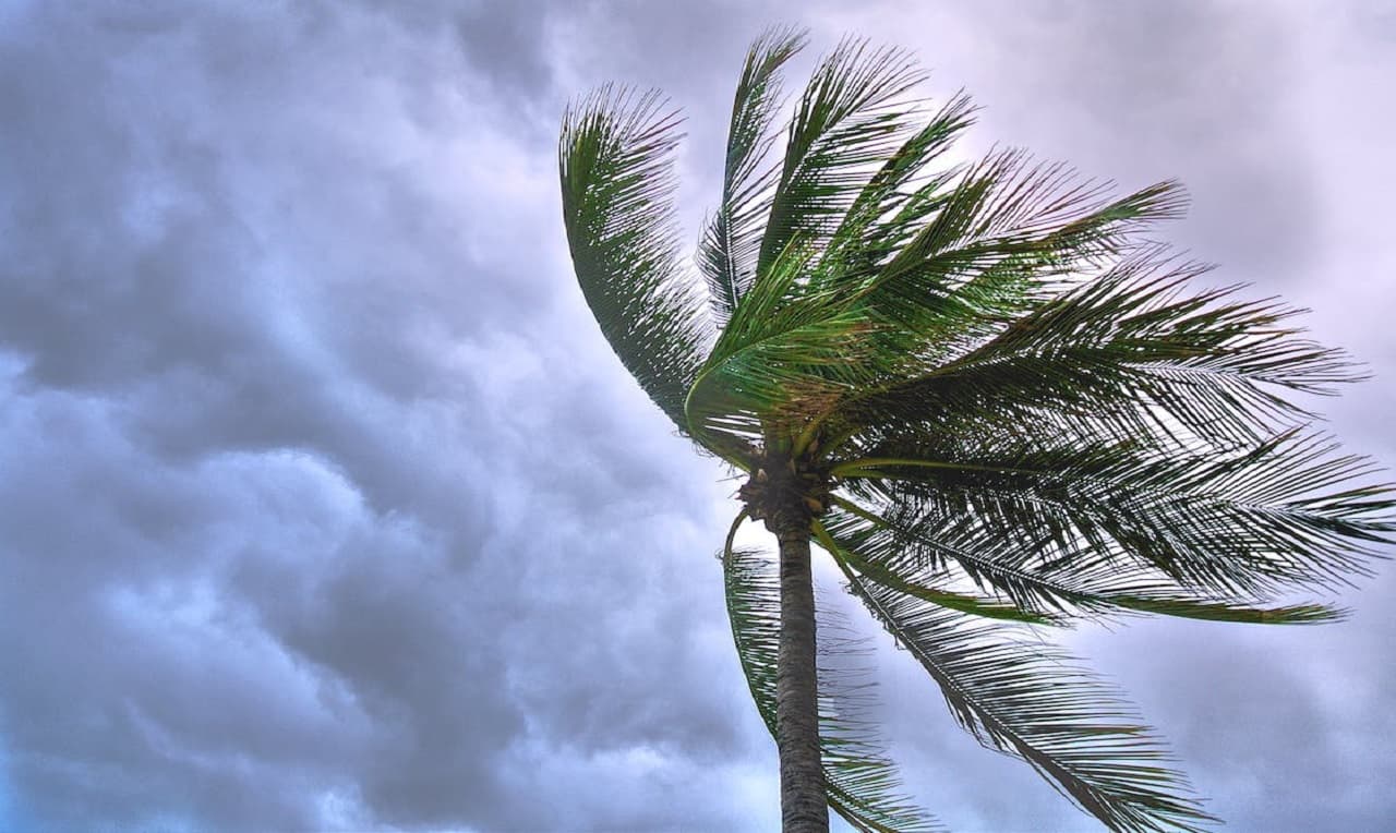
The forecast for the Paraná keeps the state in alert on Friday (9). Even with the cyclone moving away from the Atlantic Ocean, the combination of low pressure and humidity areas favors intense rain, lightning and the possibility of hail in the Southern Region. The National Meteorological Institute (Inmet) points to storm conditions in the period.
The west, southwest and south Paraná are among the regions where instability is expected to gain strength, especially at night. The scenario also requires attention in Santa Catarina and in Rio Grande do Sul.
Which areas may have the strongest rainfall?
The largest accumulated presented in the report are predicted for Rio Grande do Sul. At points in the west, northwest, north, and central Gaucho, volumes can reach 200 millimeters in 24 hours.
This projection is localized and should not be extended to the entire South or to the Paraná. The weather model also indicates cumulative over 70 millimeters in areas near Uruguayana, São Borja and Santa Maria.
In Santa Catarina, heavy rain can hit much of the territory. In the Paraná, the forecast presented highlights the advance of the storms over the west, southwest and south regions.
Hail can keep up with storms
In addition to rain, there is the possibility of hailfall during the passage of areas of instability. For Friday night, the report points to favorable conditions for the phenomenon in the west and southwest of Paraná, as well as in the south of Mato Grosso from the South.
The occurrence may vary between municipalities. Therefore, the regional forecast must be accompanied by the updates of the meteorological bodies and the warnings intended for each locality.