El Niño will bring rainfall above average until December in Paraná
International institutes' forecasts indicate the phenomenon's intensity will continue to rise until November, and it will remain active at least until March 2027

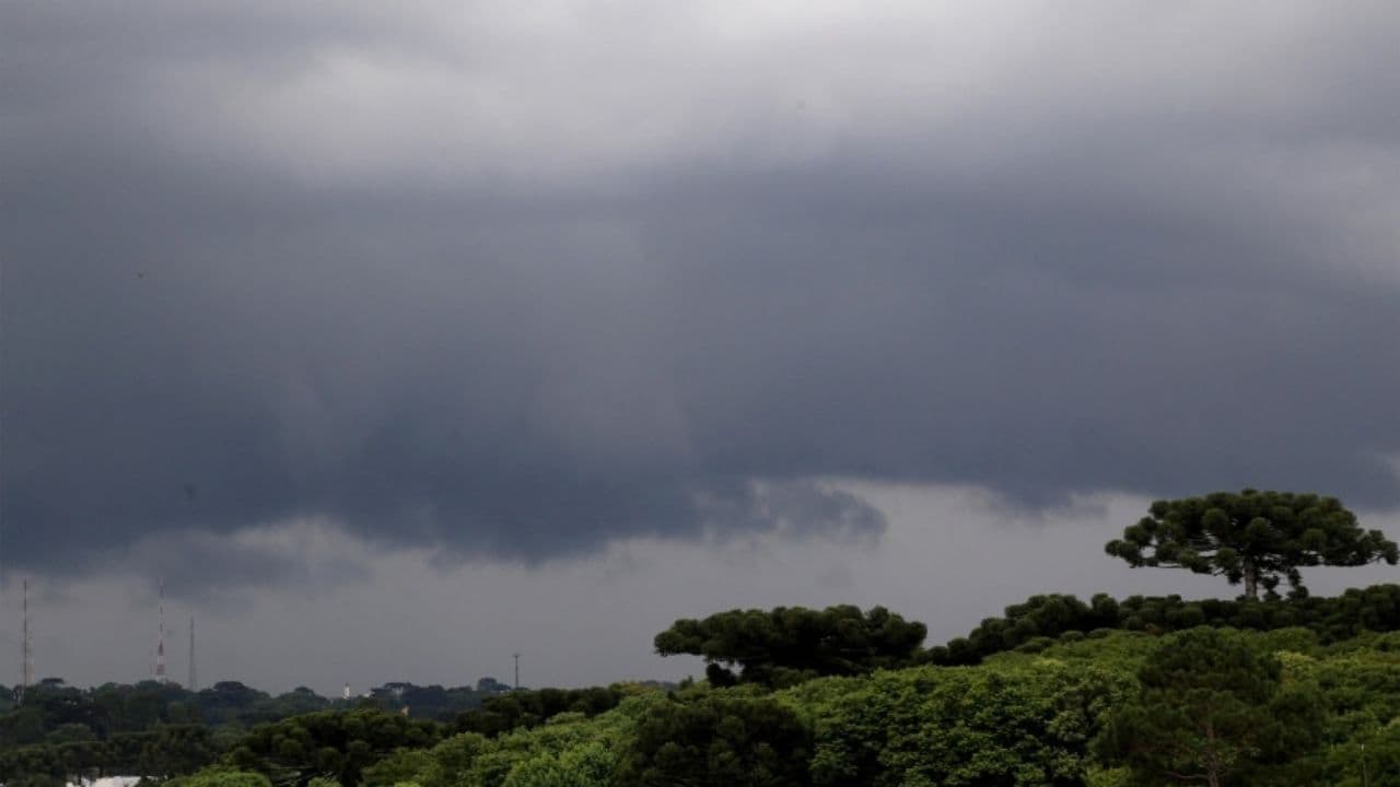
The El Niño phenomenon reached its highest category in the Equatorial Pacific Ocean. Forecasts from all international institutes point to the intensity of the phenomenon still rising by November, and it will remain active until at least March 2027. In the Paraná, according to Simepar, Paraná’s Environmental Technology and Monitoring System, the main impact is the increase in rainfall volume, which will have accumulated above average until December this year.
The information is from the update balance of the El Niño, released by Simepar on Thursday (08). The temperature reached 2.1°C above the average in the reference area for monitoring of El Niño by the National Oceanic and Atmospheric Administration (NOAA). The value has risen consistently since April this year, and in June it was confirmed that the phenomenon is already active.
The temperature index is expected to reach 3.3°C above average through November and January, with an 83 percent chance of becoming one of the strongest El Niños ever recorded since 1950. Gradually it will lose intensity after this peak, but the probability is also 83 percent, according to NOAA, that the El Niño will remain under very strong intensity until the end of summer 2027 in March.
With this climate scenario, Simepar points to above-average rain forecasts concentrated in a few days, which increases the risk of severe storms, hail and lightning in the Paraná. Despite the above-average rainfall forecast for all regions, the forecasts indicate that the largest deviations should occur in the Central-South, South, West and Southwest regions.
Although the El Niño influences the precipitation and temperature behavior in the Paraná, indicating months and seasons of the year in which these variables are far from the historical averages, Simepar points out that the daily and continuous monitoring of the weather forecasts and their updates are indispensable, since the specific periods in which the rainy episodes will occur in the semi-frequent systems.
Even the most intense episodes of El Niño do not necessarily produce the same impacts in all regions. However, stronger events increase the likelihood of occurrence of weather patterns normally associated with the phenomenon.
PREPARATION
Since the first news about the intensity of the phenomenon, the State Coordination of Defesa Civil (Cedec) has intensified the preparation actions with the municipalities. The 10 Regional Action Centers (NAR) held meetings alerting the 399 municipal coordinators about the severity of the scenario, guiding the municipalities to carry out activities to improve drainage, especially in areas with a history of occurrences. Information was also provided on the importance of updating the Contingency Plan and preparing the local population, given the reality of each region.
To date, 278 municipalities have already carried out at least one preventive action, such as the maintenance and cleaning of drains and galleries, the deaeration of rivers and channels, participation in orientation meetings or table simulations.
SCHOOLS
Through the School Brigades Program, Cedec and the Education Secretariat of Paraná prepared a practical guide with specific guidelines for storms, hail, floods and floods. This week the Government of Paraná began preparations in state schools. The state network has already started training that provides simulated exercises in more than 2,000 schools throughout the Paraná.
The guide can be used by principals and teachers of all school communities, both public and private, to prepare actions in response to possible severe and extreme events in the school environment. The need for this guide was born under the influence of El Ninô in the months of October and November in the south of the country. The material guides you step by step on how to plan and train the simulated according to the chosen situation. It will be up to the management of the educational institution to evaluate which scenario is the most vulnerable for these locations and to define which protocol is adopted.
According to Colonel Ivan Fernandes, General Coordinator of the School Brigades Program, in cases of severe events, schools are the best places for students to stay until the situation improves. “With this guide we reinforce the culture of prevention and guide how each institution can organize its own simulated according to the risks of that building or location,” he adds.
Created by the team of the School Brigades Program, the guide can be downloaded for free on the Cedec website www.defesacivil.pr.gov.br . The 23-page guide was developed to guide the simulated construction, practiced four times a year in the state network of education and special schools. Since 2012, the program has been working in the preparation, prevention, mitigation and response to adverse situations in the school environment that may offer risk to students, teachers and other staff.
Alerts
The monitoring of the State Defesa Civil is carried out 24 hours a day with the support of Simepar meteorologists. The structure of the State Center for Risk and Disaster Management follows the conditions for the sending of alerts in case of more severe conditions.
To receive Defesa Civil alerts, you need to register for free. You must send your ZIP code by SMS to the number 40199 to enable you to receive the messages. It is also possible to receive alerts by WhatsApp. To do this, it is necessary to register the number (61) 2034-2611 and interact with the number, and can register from the ZIP code, the municipality or the location.
With AEN information
Read also: Ana Castela, Jads & amp; Jadson and João Nelore and Texano shake up Piraí Rodeo Fest this weekend