Extratropical Cyclone Places Paraná on Severe Weather Alert This Week
Extratropical Cyclone in Paraná Increases Risk of Severe Weather Between Thursday and Friday. See Alerts for Ponta Grossa and Campos Gerais.

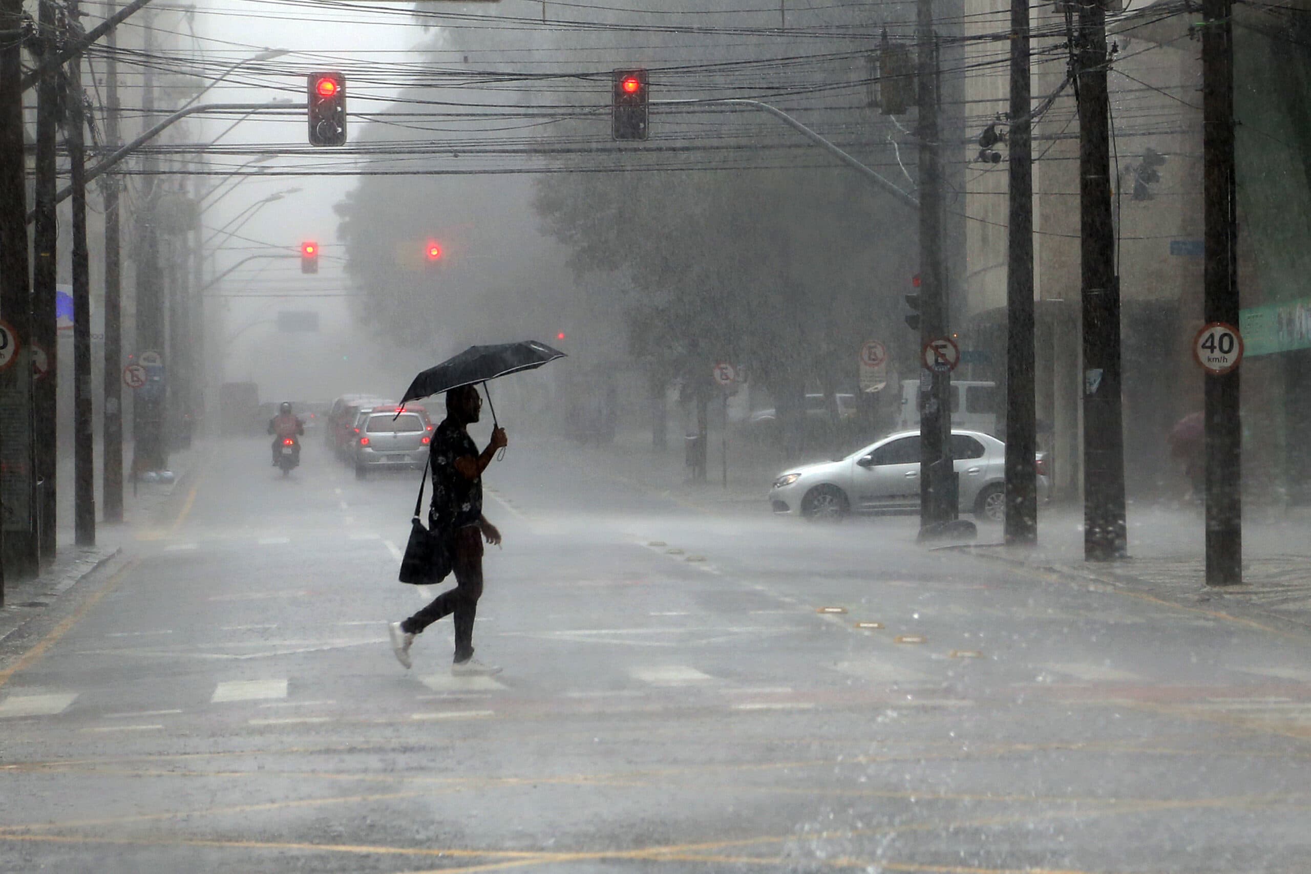
The risk of storms in the Paraná is expected to increase over the course of this week, mainly between Wednesday (4) and Thursday (5), due to the combination of high temperatures, humidity and the formation of an extratropical cyclone on the coast of the Southern region of Brazil. The alert was issued on Monday (2) by the Paraná Environmental Technology and Monitoring System (Simepar).
The forecast indicates the possibility of intense storms in different regions of Paraná, including areas of the Campos Gerais, where municipalities such as Ponta Grossa, Castro, Palmeira and Carambeí should closely monitor the evolution of weather conditions.
Extratropical cyclone increases risk of storms
According to Simepar, the weather is expected to remain warm and muggy on Tuesday, with maximum temperatures exceeding 25°C in all regions of the Paraná. The combination of heat and humidity favors the formation of isolated rain strokes, which can be accompanied by lightning and gusts of wind.
On Wednesday (4), the instability gains intensity. A low atmospheric pressure system should contribute to rising temperatures, which can approach 35°C in the northern half of the state.
The forecast points to rainfall in all regions, with greater risk of intense storms in the southern half of Paraná. Simepar also warns of the possibility of supercell formation, storm structures that can produce severe weather phenomena.
Thursday will be of increased attention.
The scenario is expected to become even more worrying on Thursday, when an extratropical cyclone is expected to form over the ocean, near the coast of the South region.
The system will be associated with the advancement of a cold front, favoring the organization and displacement of areas of instability by the Paraná.
According to meteorologist Julia Munhoz of Simepar, the storms are expected to advance from the southern half to the north of the state, with the possibility of potentially severe events.
For the Ponta Grossa and Campos Gerais, the scenario demands attention, especially in the face of the regional risk of heavy rainfall, electric shocks and gusts of wind. The intensity of the phenomena can vary from one municipality to another.
Storms have already wreaked havoc on the Paraná
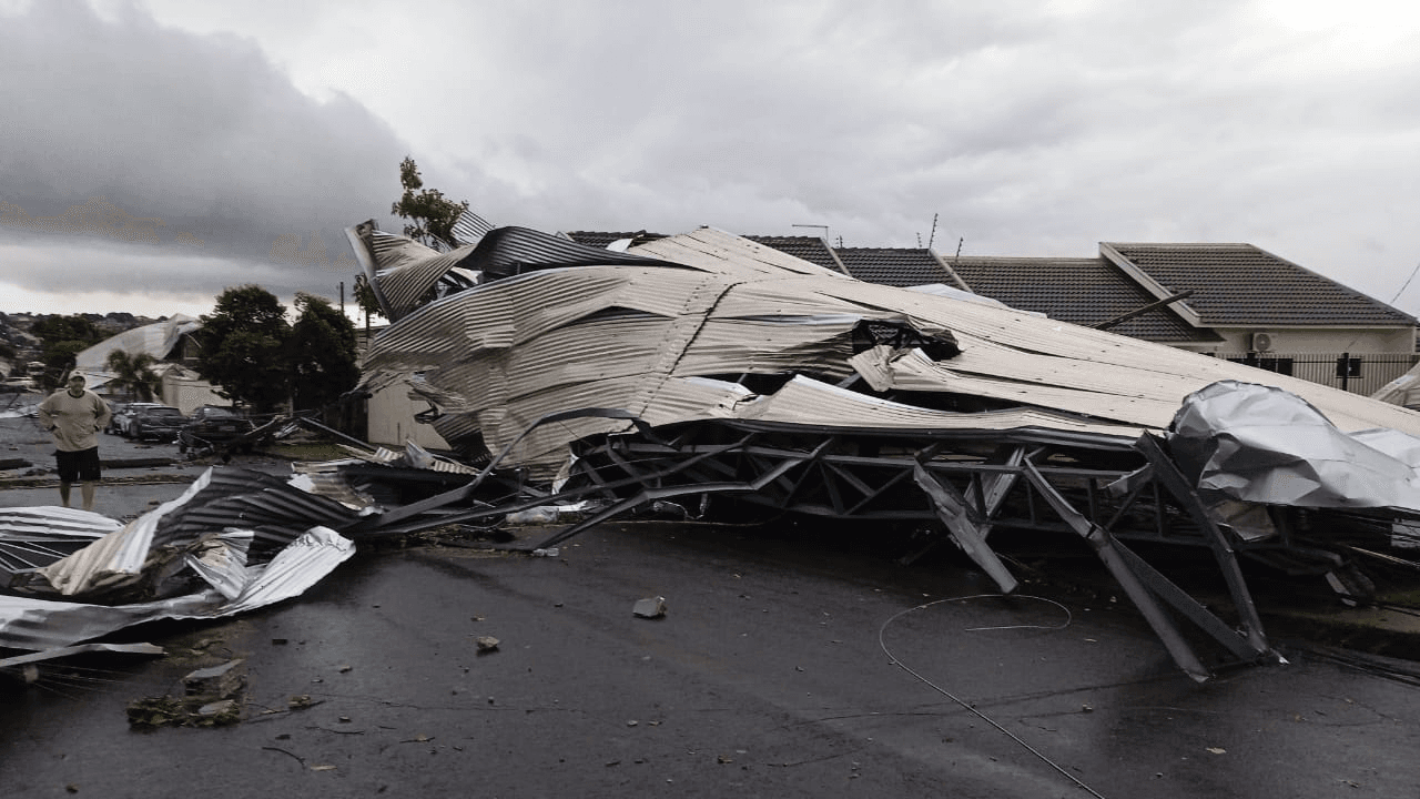
The state began November with episodes of heavy rain, hail and strong winds.
On Sunday (1st), the Platinum weather station Santo Antônio recorded gusts of 86.8 km/h. At General Carneiro, the winds reached 76 km/h.
Already in the early hours of Monday (2), a Simepar station in Altônia registered gusts of 109.1 km/h, while in Maringá the winds reached 81 km/h and caused severe damage in the city.
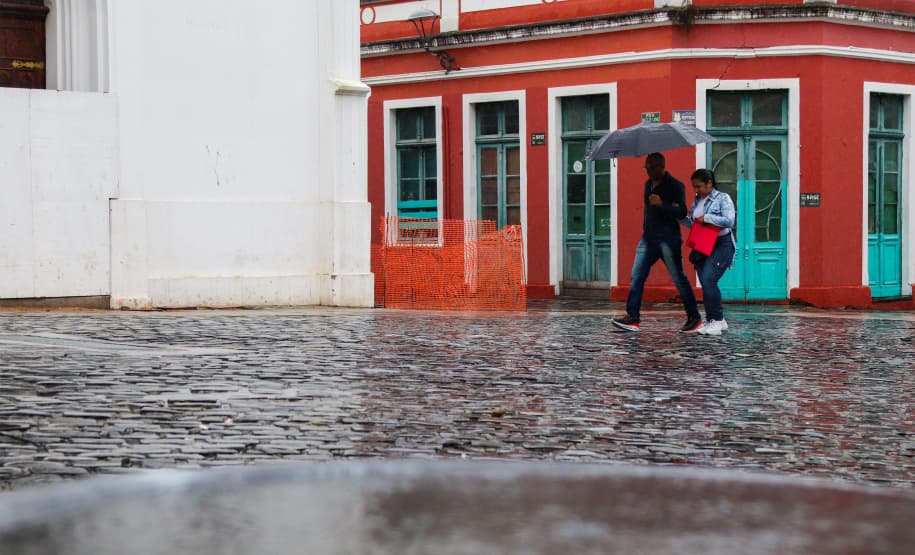
The rain was also heavy in several locations. Between midnight and 8 a.m. on Monday, 65.2 millimeters were recorded in Palotina, 62.8 millimeters in Cianorte and 51.8 millimeters in Maringá.
Defesa Civil advises population to follow alerts
With the forecast of new storms, the recommendation is that residents follow the weather reports and avoid risky situations during the storms.
Among the main guidelines are to avoid shelter under trees, keep distance from fallen electrical wires and not cross flooded streets.
The population can receive free alerts from Defesa Civil do Paraná directly on the mobile. To do this, simply send an SMS message with the ZIP code of the residence to the number 4199.
On Friday, there are still forecasts of isolated rain and lightning strikes, mainly in the western half of Paraná.
The Portal BnT Online tracks weather updates and possible storm impacts on Ponta Grossa and the municipalities of Campos Gerais.