Rain returns to Paraná on Thursday, reports Simepar
The rain will continue until the end of the weekend.


The frozen dawn and the sunny afternoons are already with the days numbered. According to Simepar, the cold and dry air mass that is on the Paraná loses strength and the bulky rains, with the risk of storms, return already in the early morning of Wednesday (21) to the Paraná.
The cold air mass arrived over the weekend. On Sunday (18), Loanda recorded 12,5°C, the lowest temperature in October since the Simepar weather station was installed in the city, in 2017. With predominance of sun the thermal amplitude was highlighted. In northern cities, such as Maringá, the day that started at 12°C passed 25°C in the late afternoon.
The temperatures at dawn on Monday (19) continued to break records. Guarapuava (3°C), Southern Oranges (8°C), District of Horizonte, Palmas (2,3°C), West Santa Maria (8,1°), Nova Prata do Iguaçu (11,4°C), Umuarama (9,7°C) the Union of Victory (4,7°C) the lowest temperature for October since the Simepar weather stations were installed in the cities: Guarapuava was installed in 1997, Oranges in 2017, Horizon in 2019, Santa Maria in 2022, New Silver in 2023, Umuarama in 1997, Union of Victory in 1997.
Temperatures were below 5°C with favourable conditions for frost formation in the Center-South, around 5°C in the Campos Gerais, near 9°C in the Metropolitan Region of Curitiba, and between 9°C and 12°C in the West and North of the Paraná. The Monday and Tuesday (20) still follow with low temperatures at dawn and elevation of temperatures with predominance of sun in the afternoon, with no significant rainfall forecast.
This Monday the maximums reach 25 ° C again in the West, North and North Pioneer, and 20 ° C in the other regions of the state. On Tuesday, temperatures rise slightly higher, and can reach 27°C in the northern half of the Paraná. “On the coast the cloudiness is higher, the temperatures vary a little and on Tuesday we do not rule out isolated rain strokes between the Serra do Mar and the coast,” explains Raissa Pimentel, meteorologist at Simepar.
The weather conditions begin to change from early Wednesday (21). “A low-pressure system in formation in the Paraguay region brings rain back to Paraná,” details Raissa. With the removal of the cold air mass, the minimum temperatures rise a little at dawn, and already from Wednesday they are above 10 ° C throughout the state.
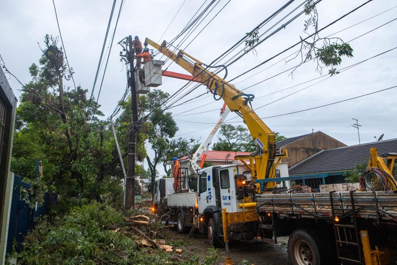
On Wednesday, rainfall will be recorded in the Northwest, West, Southwest and South-Central of the Paraná. In the following days, the rain spreads to the other regions and until Friday (23) it reaches the entire state, with increased risk of storms. The accumulated volumes of rainfall can approach 100 mm, mainly in the West, Southwest and Center-South.
The rain will continue until the weekend. With the new risk of storms and heavy rain, Simepar emphasizes the importance of the registration to receive the alerts of the Defesa Civil State. Simply send an SMS from your mobile phone to the number 40199, and in the message field enter the ZIP code of the residence.
With information Simepar
Read also: Two men die after motorcycle hits the rear of truck on highway of Paraná