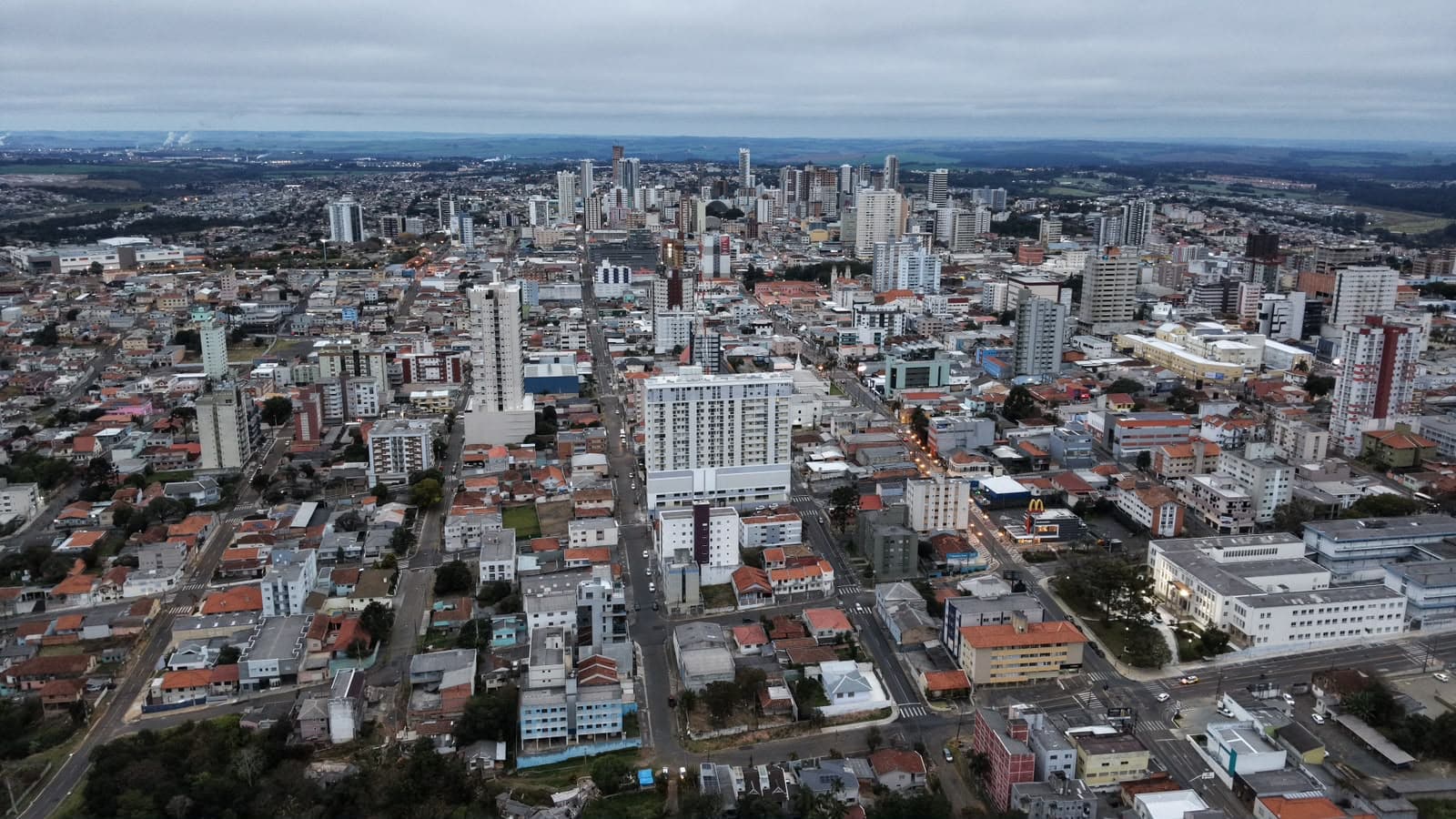
Ponta Grossa and region face very high risk of severe storms this Saturday
Storms will hit the state starting in the afternoon of this Saturday

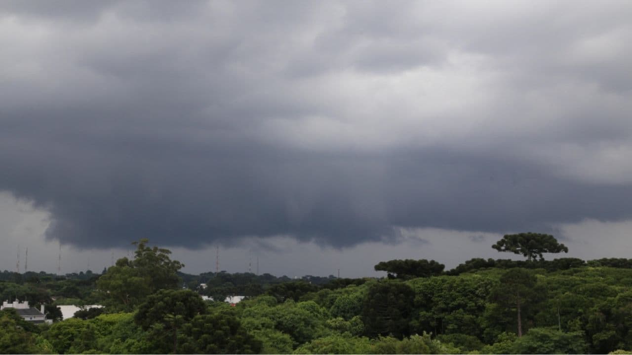
After Friday (11) starts sunny and the winds that persist in the state Paraná, the Simepar and the Defesa Civil warn that punctually severe storms with heavy and bulky rain are expected to occur in the coming hours. The risk is high in much of the State and very high for Ponta Grossa, municipalities of the region of Campos Gerais, in addition to other localities. The National Meteorological Institute (Inmet) points out that virtually the entire state is on high alert with a degree of serious danger.
With this, there can be falling trees, rain of up to 100 millimeters, flooding, flooding, hailfall, severe flashes, damage to plantations and interruption in the supply of energy. There is also a tornado forecast, according to Climatempo.
Throughout the morning of Friday, the rain gave way to warming with the entry of a warmer air, especially in the northern half of Parana, causing the temperatures to rise rapidly. The north quadrant wind blows in moderate to strong intensity, with emphasis on the cities of the West and Southwest.
In the early afternoon, a cold front advances rapidly through the South of Brazil, favoring the occurrence of storms that can cause strong gusts of wind, hailfall and intense rain over the cities that border with Santa Catarina and border with neighboring countries. The rain advances rapidly on the Paraná, accompanied by strong wind gusts, reaching all regions by the night period.
WEEKEND
During Saturday, rain persists on the Paraná, with the most prominent being the northern half of the state, where storms are still to be recorded throughout the day. The rains continue to act in the other regions, but with less intensity in the southern half. As the rain gets away, a mass of cold air reaches the state. It is still hot in the cities of the Paraná Northwest and the ones with the state of São Paulo. In other regions, temperatures are starting to drop.
The forecast is of maximum temperatures close to 28°C in the northern half of the State, while in the cities that are in the Center-South, Southwest and East, including in the Metropolitan Region of Curitiba, they are around 20°C.
For Sunday, the prospect is that rain will again occur in all regions of Paraná, this time with a lower probability of occurrence of storms. The feeling of cold will be the highlight: In the Center-South and East of the Paraná, the maximum temperatures should not exceed 13°C.
The trend is for the week to start with the presence of rain, which gradually reduces throughout the day.
With information Simepar
Read also: Castro teams are in readiness for warning of severe weather events