El Niño: Paraná will continue with rainfall above average until March 2027
The analysis by several international institutes corroborates the forecast that El Niño will continue to strengthen until early 2027, when it gradually begins to lose strength.

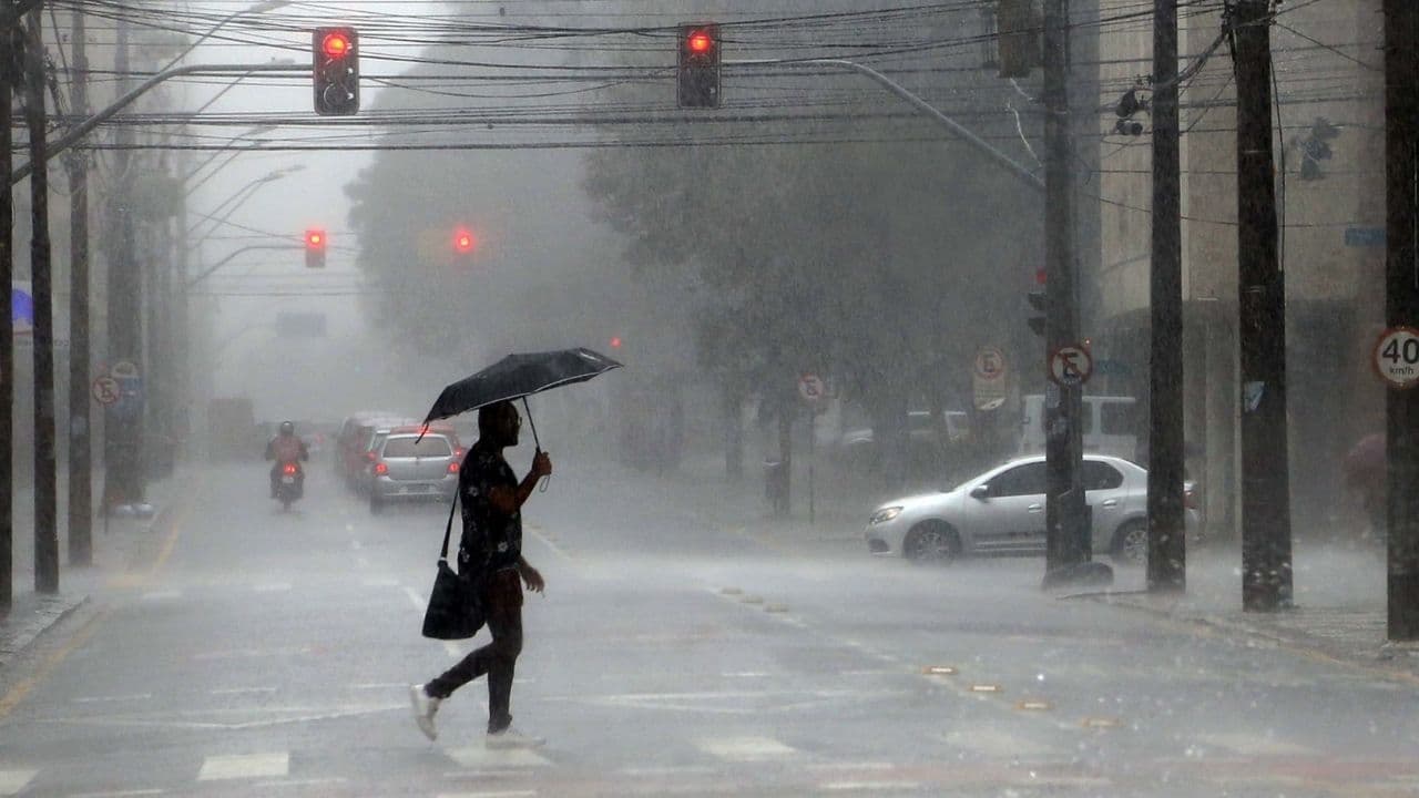
The Environmental Technology and Monitoring System of Paraná (Simepar), published on Thursday (12), the climate update report concerning El Niño. The phenomenon, which continues to strengthen over the waters of the equatorial Pacific Ocean, contributes to the occurrence of above-average rainfall throughout the Paraná by March, with the greatest impact in November and December. The Midwest will be the most affected region of the state. From December, heavy rain also increases on the coast.
The temperature reached 2.5 ° C above the average in the region of Niño 3.4, reference area for monitoring of El Niño by the National Oceanic and Atmospheric Administration (NOAA). Warming has been consistent since April this year, and in June it was confirmed that the phenomenon was already active. By October, it had already reached the highest category, and remains established as a very strong El Niño.
The analysis of several international institutes corroborates the forecast that the El Niño will continue to strengthen until the beginning of 2027, when it gradually begins to lose strength. According to NOAA, the chance that this will be the largest El Niño since 1950 has fallen to 60% (in the analysis made in October, the chance was 83%).
CHUVA
At Paraná, between November and March, Simepar predicts that the impact of El Niño will mainly be on above-average rainfall volume in all regions. It is expected to rain in a short period of time, and more severe storms accompanied by strong winds, hail incidence and lightning.
In November, this impact was already clear: Simepar teams classified a tornado in Maringá and atmospheric microexplosions in Curitiba, Piraquara, Pinhais, São José dos Pinhais, Araucaria, Clevelandia and Tijucas do Sul, only in the first seven days of the month.
Cities in the Southwest in November can record rainfall volumes between 320 mm and 360 mm. In the central and western regions of the state, rainfall volumes of more than 240 mm are forecast. In December, the volume of rain also increases in the coast of Paraná, where there are forecasts of accumulated between 220 mm and 240 mm. The largest volume forecast remains in the Southwest, where some cities can again reach values above 320 mm.
In January, the scenery changes a bit. The largest rainfall volumes predicted in Paraná are close to 260 mm in coastal, western and southwestern cities. In February, the only region that can come close to these values is the Litoral. In March, rainfall volumes should not exceed 240 mm in any region of the state.
Between December and March, the Eastern region has forecast several dry days with high temperatures, interspersed by rainy episodes.
Although the El Niño influences the precipitation and temperature behavior in the Paraná, Simepar points out that the daily and continuous monitoring of weather forecasts and their updates are indispensable, since the specific periods in which the rainy episodes will occur depend on the types of systems acting in the region (cold fronts, low pressure systems or semistationary systems, for example).
Even the most intense episodes of El Niño do not necessarily produce the same impacts in all regions. However, stronger events increase the likelihood of occurrence of weather patterns normally associated with the phenomenon.
PREVENTION AND PREPARATION
Since the beginning of June, when the phenomenon was confirmed in Brazil, the State Coordination of Defesa Civil (Cedec) has intensified the work of preparation and mitigation of the effects in the municipalities. By the end of October, 337 municipalities had carried out at least one action, including clearing of drains and galleries, cleaning and deaerating of rivers and canals, practical simulated or table simulated.
Teams of Defesa Civil work on duty to monitor the weather conditions and issue time warnings up to 72 hours in advance and real-time alerts as the situation worsens. Between June and August, the State Center for Risk and Disaster Management (Cegerd) has already issued 1,247 alerts at different levels of severity throughout the state and another 219 extreme alerts through the cell broadcast technology.
The State has strengthened the prevention and preparedness for disasters associated with excess rainfall in the municipalities, such as the de-watering of rivers and streams, the cleaning of drains and drainage networks. In total, 337 cities have already promoted at least one type of action since the beginning of June.
PREPARATION IN SCHOOLS
In October since year, the School Brigades Program has released a Practical Guide with general guidance on how educational institutions can prepare servers, teachers and students for severe events of flooding, flooding, storm surge and hail. The state network, with more than 2,000 schools, is running a training schedule that will be completed at the end of the school year.
Alerts
The monitoring of the Defesa Civil State is done 24 hours a day with the support of Simepar meteorologists. The structure of the State Center for Risk and Disaster Management follows the conditions for the sending of alerts in case of more severe conditions.
To receive Defesa Civil alerts, you need to register for free. You must send your ZIP code by SMS to the number 40199 to enable you to receive the messages. It is also possible to receive alerts by WhatsApp. To do this, it is necessary to register the number (61) 2034-2611 and interact with it, being able to register from the ZIP code, the municipality or the location.
EL NIÑO
El Niño – Southern Oscillation (ENOS) is a phenomenon that occurs in the equatorial Pacific Ocean region and nearby areas, characterized by anomalous variations in sea surface temperature and atmospheric circulation. It is one of the climate phenomena with the greatest impact on Earth due to its ability to alter global atmospheric circulation and, as a consequence, influence the behavior of air temperature and precipitation in vast areas of the planet for periods ranging from several months to years.
With information Simepar
Read also: Carambeí launches 2nd edition of the Cake Contest; open registration