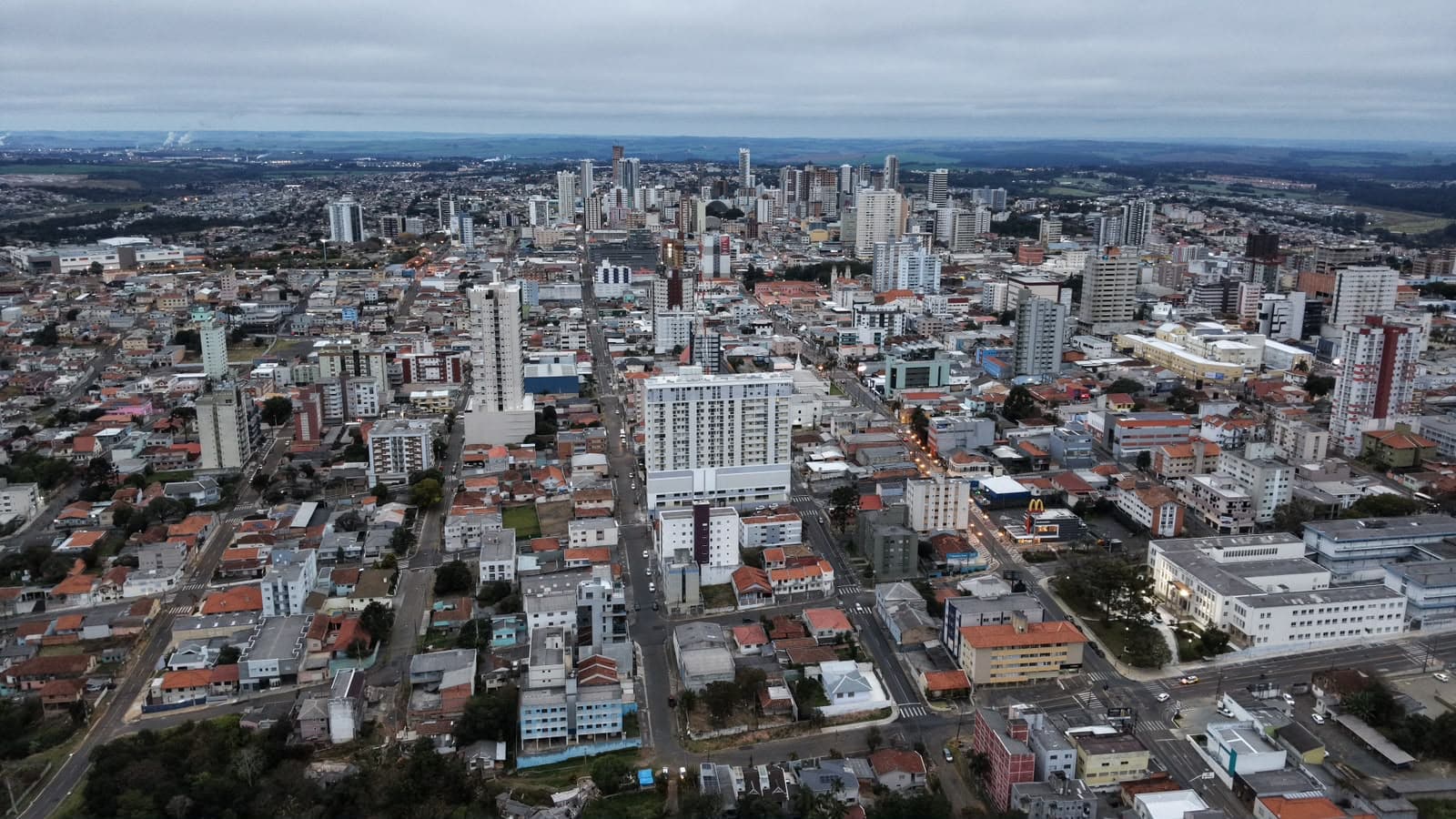
With storm risk, Paraná will have heavy rain until the weekend
On Friday (11), with the formation of an extratropical cyclone over Rio Grande do Sul and the advance of a cold front over southern Brazil, atmospheric conditions become favorable for the occurrence of severe storms in Paraná.

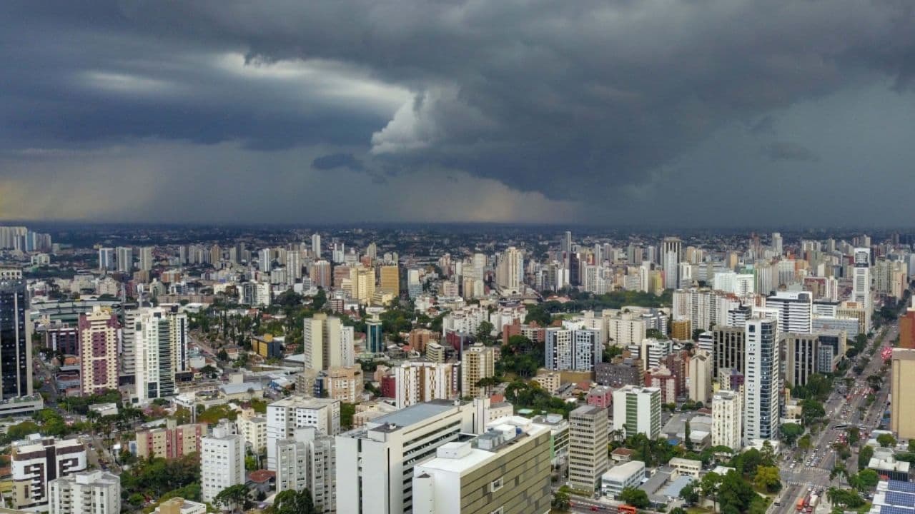
The rain returned to the Paraná with high volumes expected by the weekend. There is also a risk of storms with strong gusts of wind in all regions of the state. According to the Risk Management Bulletin prepared by Simepar (Environmental Technology and Monitoring System of Paraná), in partnership with Defesa Civil, the day with the highest risk of occurrences related to weather issues is Friday (11).
The intensification of a low-pressure system in the Paraguay region and the influence of the flow of Northwest winds, which bring heat and humidity towards the South of Brazil, already favor rain strokes accompanied by lightning since Tuesday night (08) in some regions of Paraná.
On Wednesday (09), even before 11am, the rain volumes had already exceeded 10 mm in the weather stations that are in São José dos Pinhais (IAT) (13.2 mm), Araucária-Sanepar (13 mm), Piraquara-Sanepar (15 mm), Pontal do Paraná (12 mm), Morretes (11.4 mm), Para).
From the afternoon, the risk of storms increases, which can be strong mainly in the Northwest, West and Southwest of the Paraná. Thursday (10) follows unstable weather in all regions. The risk for more intense storms is greatest mainly in the western and northern halves of the state.
On Friday (11), with the formation of an extratropical cyclone over Rio Grande do Sul and the advance of a cold front over the South of Brazil, the atmospheric conditions are favorable for the occurrence of severe storms in Paraná. In addition to heavy rain and lightning, wind gusts gain strength throughout the day and can exceed 60 km/h in various regions of the Paraná.
BOLETIM
The Risk Management Bulletin points on Wednesday (09) low risk in the Pioneer North for heavy rain in a short time, gusts of wind, atmospheric electric shocks and hail, which can cause fall of branches and trees, juxurras and other disorders. The risk is high in the west and southwest, and moderate in the other regions of the state.
On Thursday (10), the risk is very high in the Northwest for heavy rain in short time, punctually severe wind gusts, atmospheric electric shocks and hail. In the East and South of Paraná the risk is moderate, and in the other regions of the state the risk is high.
On Friday (11), in the West, Southwest, Campos Gerais and Center-South of the Paraná, the risk is too high for heavy rain in short time, punctually severe wind gusts, atmospheric electric shocks and hail. In other parts of the country, the risk is high.
The bulletin also highlights the heavy rainfall on the Paraná, with buildups that can punctually exceed 200 mm between Thursday and Friday. The risk is high in the Campos Gerais and Center-South, moderate in the East, West and Southwest, and lower to the North of the Paraná. The Northwest is out of the area of risk for heavy rainfall.
PREPARATION AND MITTLERATION
The Defesa Civil State and Simepar monitor the weather conditions 24 hours a day. At the State Center for Risk and Disaster Management (Cegerd) teams on duty evaluate the associated risks and issue alerts according to the severity of the event.
Given the conditions foreseen for the next few days, the 10 Núcleos de Ação Regional (NAR) of Defesa Civil reinforce the preparation with the most susceptible municipalities and with a history of occurrences associated with excess rainfall. All Risk Management Bulletins are forwarded directly to the city halls.
Since the beginning of June, with the performance of the El Niño phenomenon, all municipalities have received recommendations to carry out actions of cleaning of drains and galleries, as well as the desasseration of rivers and channels to improve drainage in cases of severe rainfall. So far, 281 municipalities have taken at least one preventive action.
REGISTRATION TO RECEIVE ALERTS
The Defesa Civil State guides the population to register to receive short-term alerts sent to the mobile phone. To register via SMS, the user must send a message to the number 40199, with the ZIP code of his residence or other places of interest. To receive messages via WhatsApp it is necessary to interact with the number (61) 2034-4611.
With information Simepar
Read also: Castro performs integrated simulation to prepare against extreme weather events