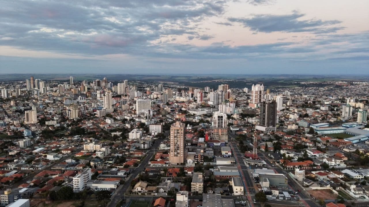
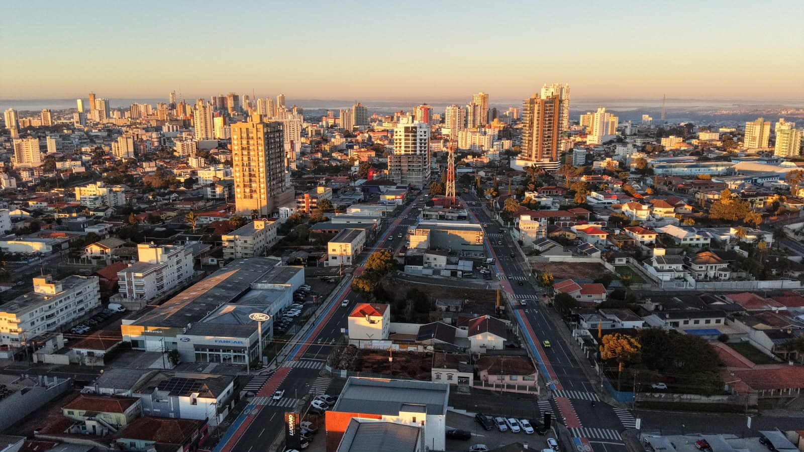
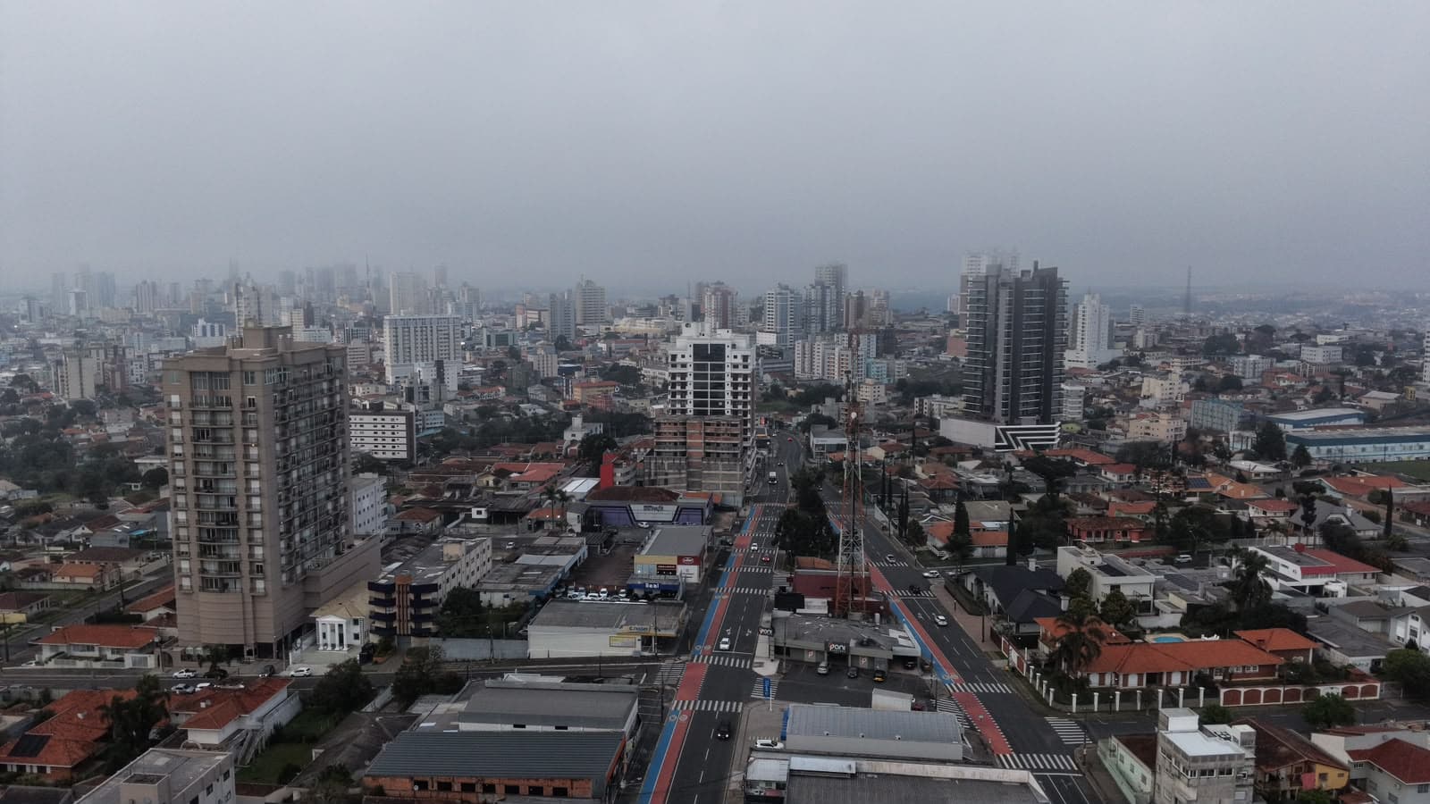
Ponta Grossa and region under storm warning for Monday
In Ponta Grossa, Monday is forecast for 10 millimeters of rain

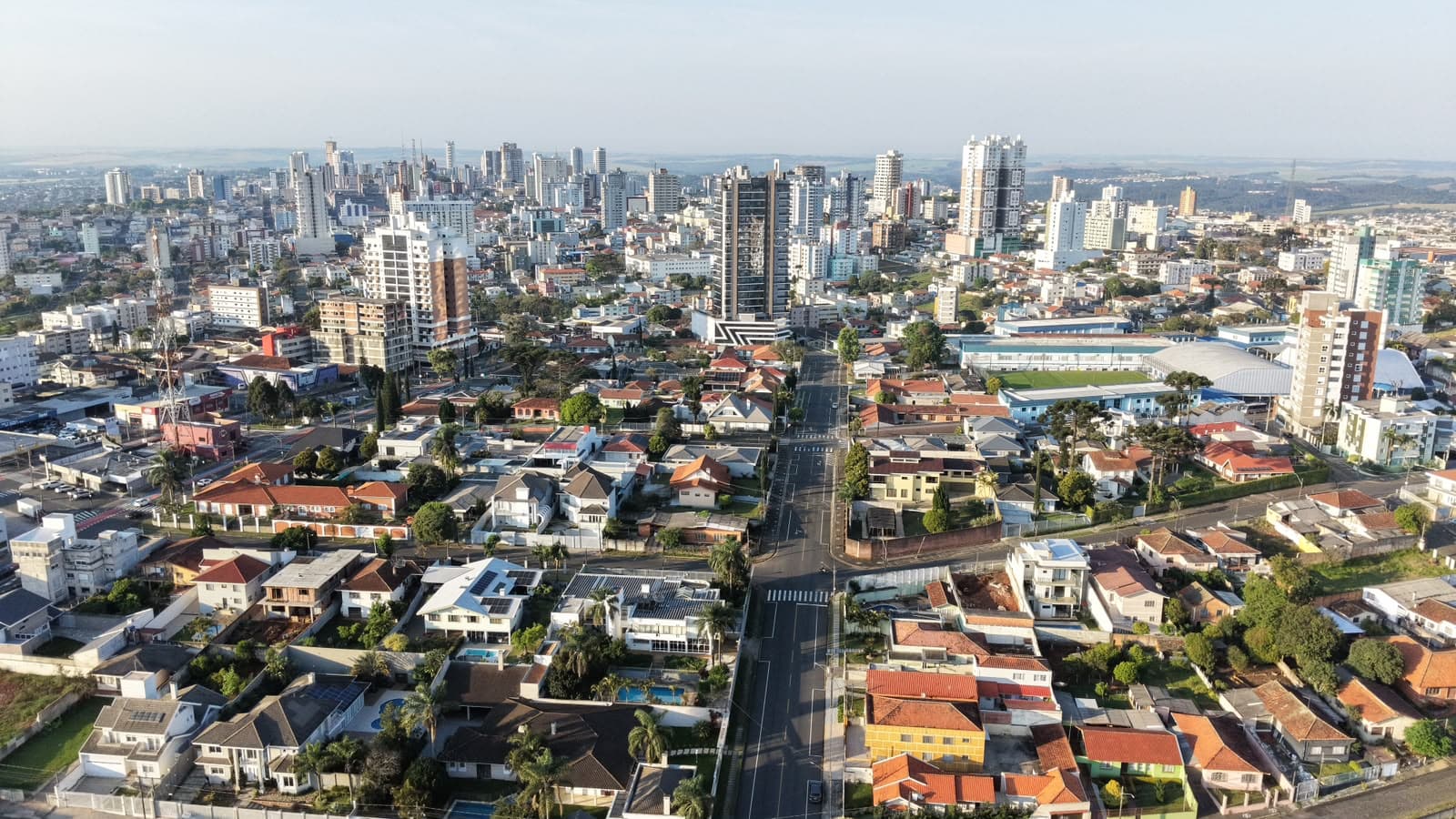
On Monday (21st), a cold front advances at the height of the South of Brazil. Before the arrival of the system to the Paraná, the state receives heat and moisture from the northern region of the country, increasing atmospheric instability. The possibility of thunderstorms (expressive rains, strong winds, atmospheric discharges and hail) is quite high in the State. During the week, Simepar details the presence of rain, drop in temperature, but on the weekend the temperatures are pleasant and exceed 25 ° C.
The National Meteorological Institute (Inmet) issued a storm warning with a degree of severity for danger by the end of the day in Ponta Grossa and the region. With this, it is expected rain between 30 and 60 mm / h or 50 and 100 mm / day, intense winds (60 to 100 km / h) and hailfall.
In Ponta Grossa, Monday is forecast for 10 millimeters of rain. In relation to the temperatures, in the morning the minimum was 15°C and the maximum could reach 23°C.
In the city of Jaguariaíva, temperatures are between 13.5oC and 24oC. Throughout the day, it can rain 5 mm. And in the municipality of Reserva, the accumulated rainfall is 18 millimeters. There, the maximum temperature reaches 23°C. The minimum was 16°C.
Check the time in your city
Tuesdays
On Tuesday (22), still under the influence of the gradual advance of the cold front by the Paraná, the weather remains quite unstable. The risk of storms is greater from the East to the Paraná Northwest, also passing through the Campos Gerais, Ribeira valley and the North. In the other regions (West, Southwest and Center-South) it can still rain weak, with an expectation of improvement from the afternoon. From dusk onwards, it cools down quite a bit in the "south half", with wind increasing the feeling of cold.
Follow the weather forecast
Read also: Man arrested for assaulting and keeping in private jail ex-girlfriend in Irati