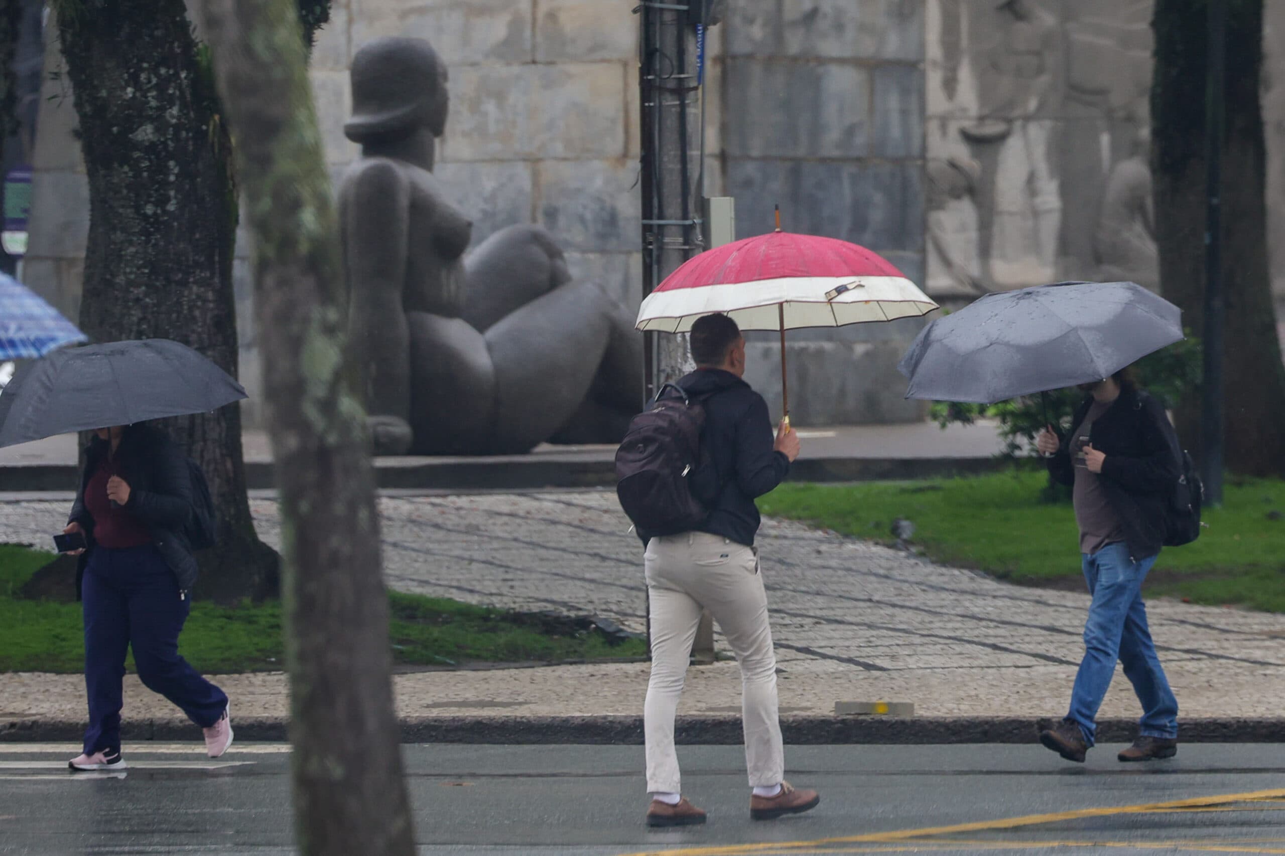
Wet Week Will Have Temperature Swings in Paraná
A new cold front expected on Thursday, however, will bring new storms with strong wind gusts, and after the rain, in the southern half of the state, the highs will have a slight decline.

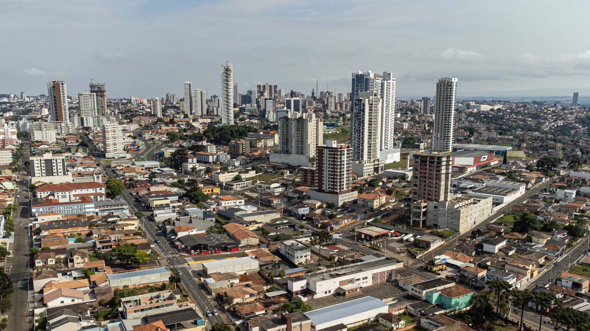
The week begins with rain and milder temperatures, due to the cloudiness present in Paraná. According to the Simepar (Environmental Technology and Monitoring System of Paraná), between Wednesday (07) and Thursday (08) the sun appears and temperatures reach 30°C. A new cold front planned for Thursday, however, will bring new storms with strong gusts of wind and, after the rain, in the southern half of the state, the maximums will have a slight decline.
“The week begins with unstable weather in the state, due to a low pressure system that acts on Paraguay, which contributes to the entry of moisture and heat from the Amazon and favors the occurrence of rain, especially in the western and northern strip of Paraná,” explains Samuel Braun, meteorologist at Simepar.
Over the course of this Monday (05), this rainy area that already operates in Paraguay is gradually advancing towards Paraná and, between the afternoon and evening period, there is a forecast of heavy rainfall with point wind gusts. The occurrence of any localized storm is not ruled out.
Due to cloudiness, the temperature does not vary much during the day. The northern region is a little warmer, with the thermometers reaching up to 24°C. Between Curitiba and the Litoral, the sky remains more closed, the sun hardly appears and the maximum temperature is close to 18 ° C in the capital, and 20 ° C on the beaches.
The weather remains unstable in some regions on Tuesday (06). “We will have a Tuesday still with rain, mainly from the East to the North of the Paraná, while in the West and Southwest there is even the expectation that, especially from the afternoon, the sun will be able to appear and so warm a little more,” Samuel points out.
As on Monday, there is a forecast of irregular rainfall by the state on Tuesday, with more expressive volumes, lightning, and less risk for storms with strong winds - unlike the storms that caused destruction in several cities in Paraná between Saturday (03) and Sunday (04).
On Wednesday (07), maximum temperatures already reach near 30 ° C in the cities bordering São Paulo, and some rapid rain and located in the afternoon is not ruled out in the State, precisely due to the strong heating.
Already between Thursday (08) and Friday (09), a new low pressure system gains strength over Paraguay, and a cold front advances through the ocean at the height of the Southern region of Brazil. After the rain, temperatures will decline slightly in the southern half of the state, while in the north the weather will continue to be muggy.
“These are systems that again contribute to the increased instability in the Paraná. Since Thursday warms up a lot, with maximum temperatures above 30 ° C in many cities, the risk of new storms increases greatly in the state, "says Samuel.
For this reason, Simepar recommends that the population register to receive alerts from the Defesa Civil State. Just send an SMS to the number 40199, and in the message field enter the ZIP code of the residence. New bulletins will be issued in the coming days.
Read also: ExpoFrisia 2026 takes place from November 12 to 14 at Carambeí