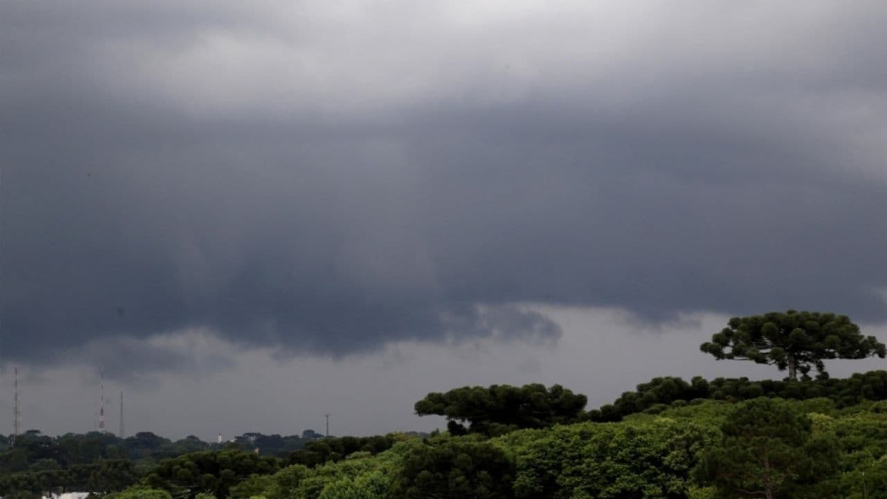
Rain, cold and heat mark Paraná as spring begins
Forecast is for strong rains until Tuesday. After instability weakens and cold arrives. Temperatures rise throughout Thursday and Friday (25), with highs above 25°C across the state.


The last cold front of winter crosses the Paraná on Monday (21st). According to Simepar (Paraná Environmental Technology and Monitoring System), the system will bring heavy rains to the state until Tuesday (22), the day that spring begins. A mass of cold air will reduce the minimum temperatures, but with the presence of the sun that will arrive by next weekend, the values in the thermometers will gradually rise again.
The Paraná already receives heat and moisture from the northern region of the country on Monday morning. In the northern half there are forecasts of temperatures above 30°C in the afternoon. A cold front advances through the South of Brazil, and you will find this warm and humid environment upon arriving at Paraná.
The wind gusts have already started to get stronger, and have gone from 50 km/h to 8:30 in Cascavel (60.8 km/h at 6:45), General Carneiro (59.8 km/h 4:15), in the District of Horizonte, in Palmas (52.9 km/h at 2:30), and in Santa Maria 5:30h/West. From the afternoon, areas of rain and storm develop in the West and South, in the cities near the border with Santa Catarina and also on the border with Paraguay.
Throughout the afternoon, rains and storms advance to the center, north and east of the Paraná, and may persist until early Tuesday (22). There is a risk of strong storms, even supercellular, in all regions of the state, with heavy rain in a short time, high incidence of lightning, gusts of wind above 70 km per hour and even hail.
As the cold front gradually moves away towards the ocean, the weather remains unstable throughout Tuesday. The risk of localized storms lies between the East, Northwest, Campos Gerais, Ribeira Valley and the North of Paraná. In the west, southwest and center-south, it can still rain in the early days, with an expectation of improvement from the afternoon.
At dusk, it cools quite a bit in the southern half of the Paraná, with the wind increasing the feeling of cold. In these regions there is a forecast of inverted minimum temperatures, that is, the lowest temperatures of the day will be at night, and not at dawn.
LESS INTENSITY
On Wednesday (23), the instabilities lose intensity in the state, but occasional rains can still occur in the East, Center and North. It is cold at dawn in the southern half, with temperatures below 10°C and the possibility of frosts located in the extreme south of the state.
In the western half, temperatures approach 25°C in the afternoon and, due to the dense cloud cover in the East and Campos Gerais, the feeling of cold remains throughout the day in these regions, with maximums that will hardly exceed 15°C.
Gradually, with the arrival and predominance of the sun, temperatures increase over the course of Thursday (24) and also on Friday (25), with maximums above 25°C throughout the state on Friday, and above 30°C in the western strip, with no rain forecast for the two days.
With information Simepar
Man Arrested After Assaulting Step-Daughter, Companion, and Pushing Elderly in Ponta Grossa