Temperatures rise gradually and rain returns in Paraná on Thursday
From Thursday (11), the cold air mass weakens and rain is expected to return to Paraná, although with less intensity than that of the previous week.

After the passage of a cold front that brought storms with destructive potential to several cities in Paraná on Saturday (07), a mass of cold air reached the state and left the temperatures milder. It is it that is driving away the strong rain from the territory of Paraná, but according to Simepar, Paraná's Environmental Technology and Monitoring System, it gradually loses strength, and with the rise in temperatures, there is a forecast of rain return from Wednesday (11).
On Monday (09) and Tuesday (10), temperatures are lower than in the previous days throughout the State, with the lowest values at dawn in the southern half of the Paraná, mainly in the Center-South, South, Campos Gerais and Metropolitan Region of Curitiba, where the thermometers record minimums near or below 10 ° C. The lowest value this Monday was in the District of Horizonte, in Palmas: 7.4°C.
With predominance of sunshine, temperatures rise rapidly throughout the day in the western and northern bands, in cities such as Foz do Iguaçu, Cascavel, Guaíra, Paranavaí and Loanda, and the maximum values approach 25 ° C on Monday and 27 ° C on Tuesday.
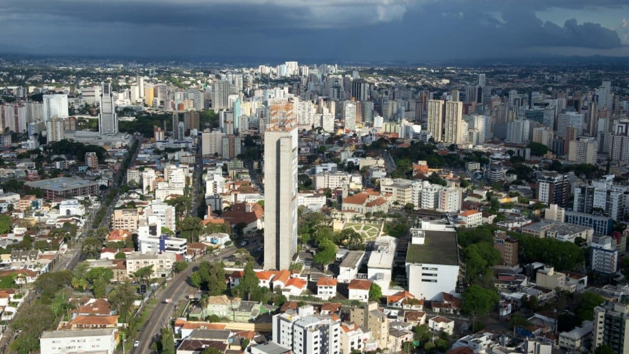
“In contrast, from the east to the Litoral it remains very cloudy due to the circulation of the ocean winds, and therefore the temperature has little oscillation. In the capital, only 17°C of maximum temperature on Monday and approximately 20°C on Tuesday”, explains Lizandro Jacóbsen, meteorologist at Simepar.
From Wednesday (11), the cold air mass loses strength and there is a forecast of rainfall return to Paraná, but with less severity than that occurred in the previous week.
“The rain arrives locally and mainly concentrated between the west and southwest on Wednesday, and spreads throughout the state on Thursday, but still with very irregular distribution. Quick rain, short duration, especially in the afternoon, as it is well muffled both on Thursday and Friday”, says Lizandro.
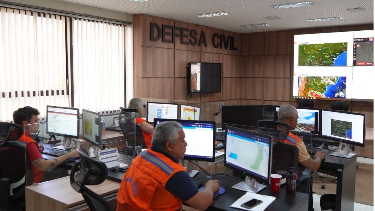
Between Wednesday and Friday, temperatures approach 30°C in the western and northern bands of Paraná, and are also higher in other regions of the state. Even without forecasting very severe weather, Simepar recommends that the population follow the weather forecast updates on the website www.simepar.br and on the social networks @simeparpr, in addition to registering to receive the warnings and alerts of the State Defesa Civil: just send an SMS with the ZIP code of the residence to the number 40199.
With information Simepar
Read also: Moradia Legal delivers 108 more property titles to families of Castro on Tuesday (10)