Cold fronts mark the return of storms to Paraná this week
The Simepar is already monitoring the approach of a new cold front over the weekend

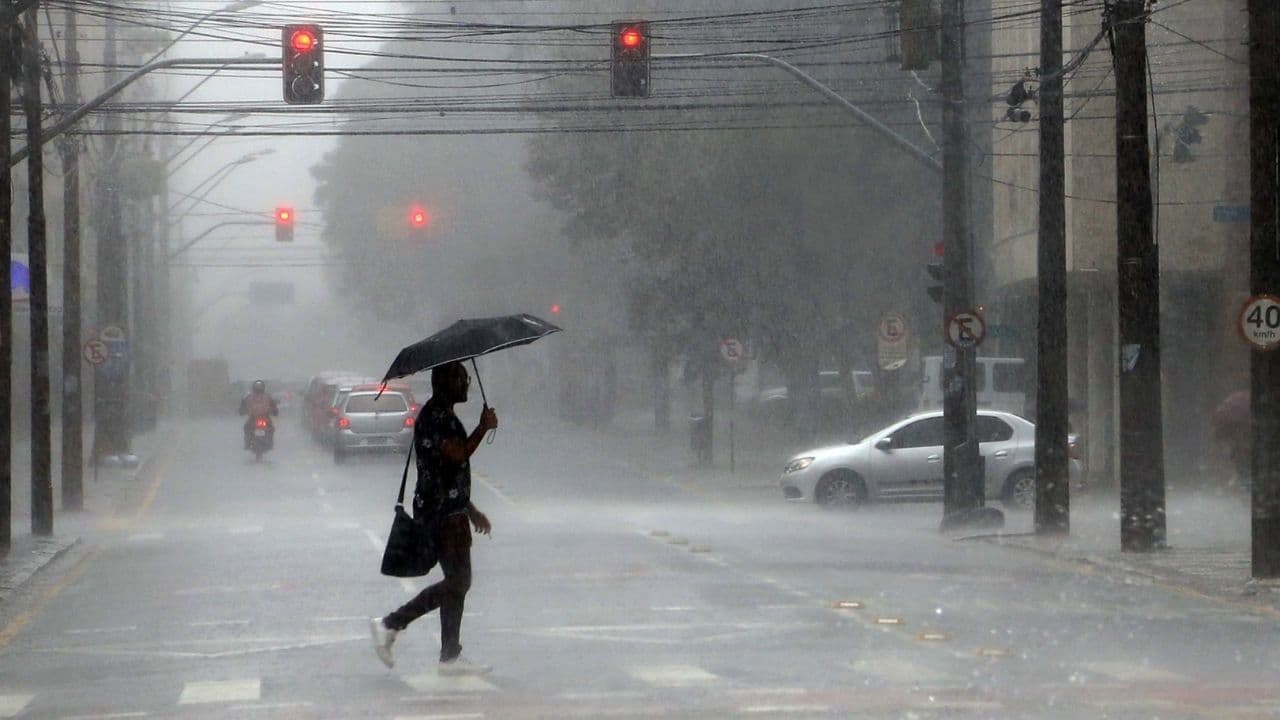
The sunny days and stable weather on most of the Paraná will give way to another scenario. The passage of a cold front will bring storms to the state as of Monday (28), but with greater intensity on Tuesday (29). According to Simepar (Paraná Environmental Technology and Monitoring System), another cold front is already scheduled for the weekend, bringing heavy rain again.
The heat was the highlight of the whole weekend. On Sunday (27), the highest temperature of 2026, so far, were recorded by the Simepar weather stations that are in Apucarana (33.3°C), Capanema (39.9°C), Maringá (35.1°C) and São Miguel do Iguaçu (38.1°C). Capanema temperature was the highest of the entire Paraná this year.
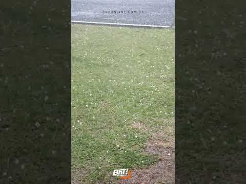
Storm cores hit the south center of Paraná between late afternoon and early Sunday night. As occurred in Rio Grande do Sul and Santa Catarina, there was hailfall in cities in Paraná such as Clevelandia, Pinhão, Cruz Machado, Mangueirinha, Inácio Martins and Coronel Domingos Soares. The highest rainfall volumes were recorded at the Simepar meteorological station in the District of Horizonte, in Palmas (24.6 mm), and at General Carneiro (13 mm).
The rains observed on Sunday are associated with the evolution of atmospheric conditions that also favor rainy events on Mondays. The intensification of a low pressure system on neighbouring countries contributes to the increase of atmospheric disturbances that, combined with heat and the availability of moisture, favor the occurrence of intense blows.
The displacement and intensification of this low pressure system contribute to the gradual increase of instabilities. Significant rains are already observed over Rio Grande do Sul and Santa Catarina, and in Paraná there is a forecast of rainfall, especially in the southern strip of the State, until the end of the morning.
With the heat, these instability have the potential to form risky storms. The most intense rainfall areas advance towards the East, reaching the Metropolitan Region of Curitiba and the Litoral, still with possibility of storm. In the Northwest, West and central portion of Paraná, strong events are also expected, with strong wind gusts and lightning.
THURSDAY, FOURTH AND FIRTH
An extratropical cyclone is expected to set up effectively on Tuesday, with the center of the system passing between Uruguay and Rio Grande do Sul, while a cold front associated with it will advance over the state. Winds blow predominantly from the northwest, transporting warm air from the interior of the continent to the Paraná, mainly to the northern half of the state.
In the Northwest, on Tuesday, temperatures can exceed 36°C. The combination of hot air mass and the approach of the cold front favors the formation of strong intensity storms in all regions of Paraná, starting from late Tuesday morning, persisting throughout the afternoon and evening, and advancing throughout the early Wednesday (30).
After the passage of the cold front, over the course of Wednesday, the rain loses intensity and occurs in a dispersed form, with less severity. Rain strokes accompanied by thunderstorms can still be observed, but in a more punctual way.
After the rain, the maximum temperatures show a slight reduction, and should not exceed 30 ° C in any city in Paraná.
On Thursday (01), the atmosphere begins a gradual process of stabilization. Still, poorly distributed and irregular rainfall strikes can occur in several regions of the Paraná. On Friday (02), no significant rains are expected in the State.
WEEKEND
Simepar is already monitoring the approach of a new cold front over the weekend. New bulletins will be issued in the coming days. For this reason, it is recommended to register to receive alerts from Defesa Civil. Those who do not yet have the registration can send an SMS from their mobile phone to the number 40199, and in the field of the message enter the ZIP code of their residence.
With information Simepar
Read also: Castro delivers 100 new dentures in mutirão to patients from Jardim Alvorada and the interior