New cyclone should cause storms and strong winds in Paraná over the weekend
State will experience weather change starting on Friday (18); Saturday will have storm warnings across all of Paraná

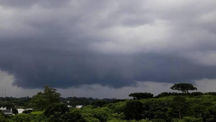
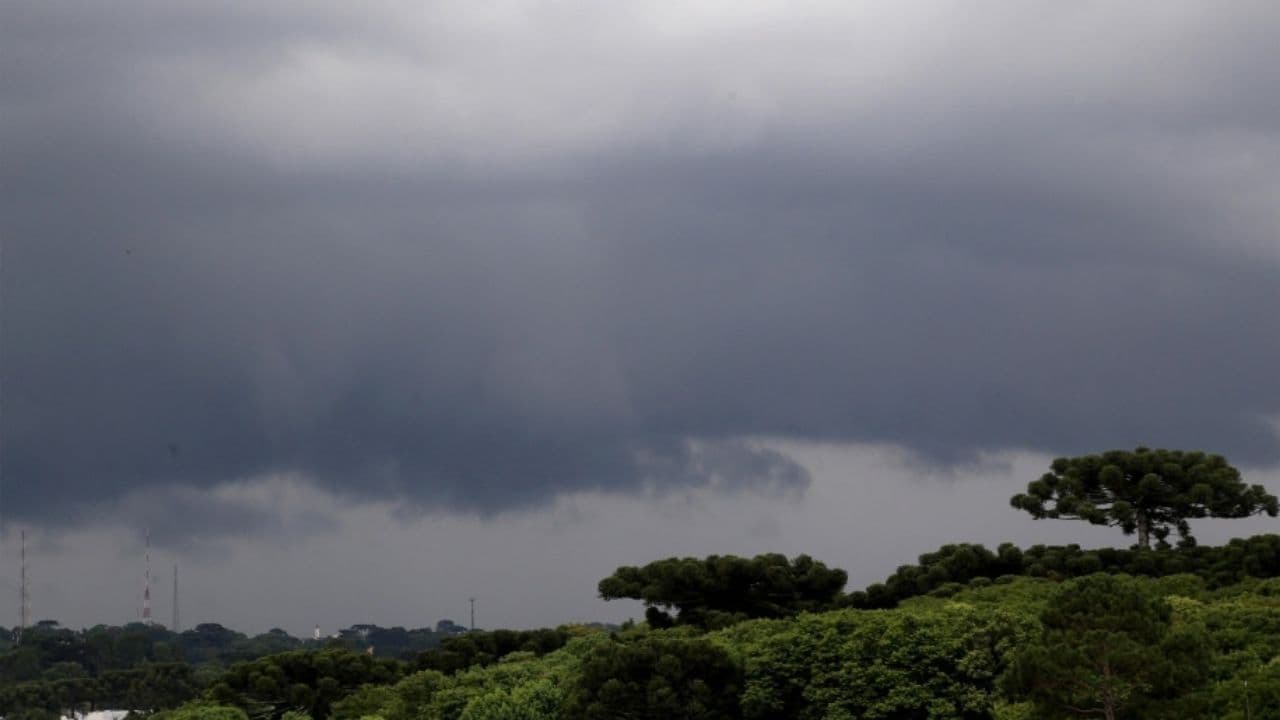
The Paraná is expected to regain momentum in the coming days after a brief improvement in weather conditions recorded on Wednesday. The forecast indicates that new areas of instability begin to advance over the state from Friday, with increased risk of heavy rain, strong winds and even hailfall over the weekend.
The change is related to the formation of a low-pressure area between Rio Grande do Sul and Uruguay. Subsequently, the system is to deepen over the ocean and give rise to a new extratropical cyclone.
Read also: New cyclone brings storm risk to Paraná; see forecast for Ponta Grossa
Although the cyclone does not advance directly on the Paraná, the system should contribute to the transport of heat and moisture and to the formation of new instabilities in the Southern Region. The expectation is that the effects will be felt also in the territory of Paraná, with the possibility of gusts greater than 60 km / h.
Storm Alerts
The National Meteorological Institute (Inmet) has issued warnings of potential danger for storms on Paraná. By Friday, the warning is mostly concentrated in the western half of the state.
On Saturday (19), the alert begins to cover the entire territory of Paraná. The forecast considers the possibility of rainfall between 20 and 30 millimeters per hour, with volumes that can reach 50 millimeters throughout the day.
There is also a risk of wind gusts of up to 60 km/h and hailfall.
Instability increases over the weekend
On Thursday (17), the weather is still expected to remain predominantly stable. The cold air mass gradually loses strength and temperatures begin to rise during the day.
On Friday, the first areas of instability again cause rain, especially in the West and Southwest regions. The trend is for conditions to worsen on Saturday, when the rain is expected to gain intensity mainly in the Mid-South and South-West.
According to the weather forecast, Saturday represents the main period of attention for high volumes of rainfall within the current scenario. On Sunday (20), the instability should continue to increase, associated with the evolution of the low pressure system on the Southern Region.
Meteorologist Diulio Patrick, from the Paraná Environmental Technology and Monitoring System (Simepar), also points out that areas of instability may remain operating over the state until Tuesday (22), due to the formation of a cold front driven by the cyclone.
With the alert spanning the entire Paraná on Saturday, residents of the Campos Gerais are also expected to keep up with weather updates and warnings issued by official bodies over the next few days.