Paraná enters alert for storms with flood risk and heavy rains until Sunday (25)
Paraná has storm alert until Sunday (25), with forecast of up to 200 mm of rain in the Campos Gerais and other regions. See the risks.

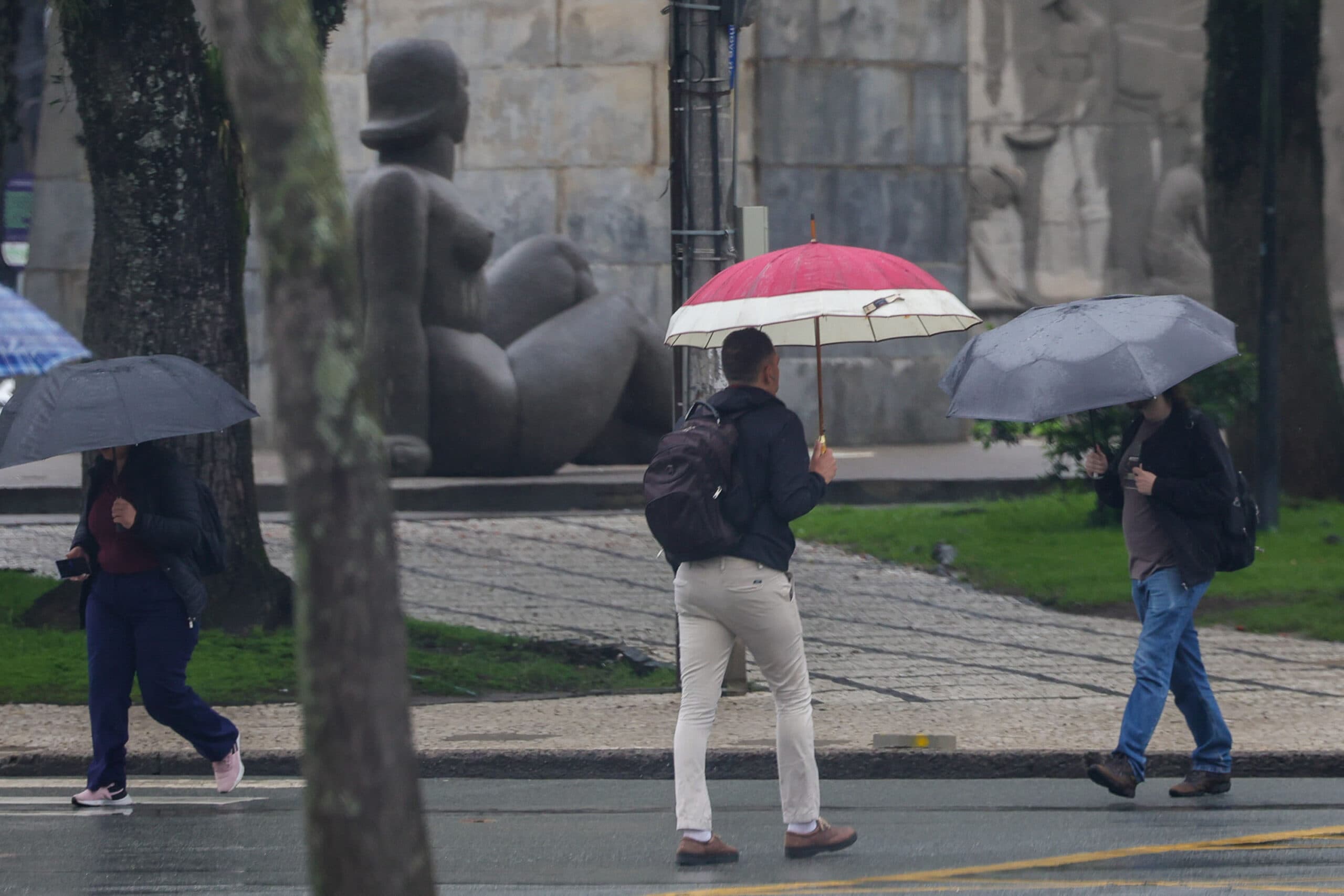
The Paraná is expected to face a period of climate instability in the coming days, with heavy rainfall, strong winds and the possibility of hail. According to the Paraná Environmental Technology and Monitoring System (Simepar), some cities may record cumulative rainfall of up to 200 millimeters between Thursday (22) and Sunday (25). Among the regions that require the most attention are the Campos Gerais, where Ponta Grossa is located, in addition to the West, Southwest and Center-South of the state.
The change in time occurs after several days of lower temperatures and little precipitation. With the weakening of the cold air mass acting on the Paraná, the arrival of moisture from the Amazon, associated with a low atmospheric pressure system near Paraguay and Argentina, favors the formation of charged clouds.
The forecast indicates that conditions should worsen as of Friday morning, when municipalities in the southern half of the state may record between 50 and 100 millimeters of rain throughout the day. The region of the Rio Iguaçu basin is among the areas of greatest concern, mainly due to the possibility of heavy rains also in Santa Catarina.
On Saturday (24), the advance of a cold front across the ocean should widen the instability, favoring storms in different regions of Paraná. Initially, the most expressive rainfall is expected to reach the South of the state, gradually advancing northwards during Sunday (25).
Ponta Grossa and Campos Gerais are among the attention regions
The forecast for high rainfall volumes places the Campos Gerais among the areas that need monitoring in the coming days. The combination of persistent rainfall and intense blows can increase the risk of flooding, flooding and elevation of rivers and streams.
According to weather projections, the accumulated can reach 200 millimeters in certain points of the West, Southwest, Center-South and Campos Gerais. The Defesa Civil State warns that, in one-off situations, this volume can occur in an interval of only 24 hours, significantly increasing the potential for disorders.
The Risk Management Bulletin, prepared by Simepar in conjunction with the Defesa Civil, also points to the possibility of intense gusts of wind, electric shocks and hailfall. The highest risks are concentrated in the West, Southwest, Northwest and North regions, while other areas present moderate risk for severe events.
Temperatures should remain mild
In addition to the rain, the people of Paraná face days with relatively low maximum temperatures. On Friday (23), the thermometers should not exceed 20°C in most of the Paraná, with the exception of municipalities in the West, where maximums can reach 24°C.
On Saturday (24), some cities in the Northwest will be able to record temperatures close to 26°C. On Sunday (25th), the trend is of further reduction, with maximums predicted of up to 22°C throughout the state.
Minimum temperatures, on the other hand, should show little change by the beginning of next week.
Defesa Civil intensifies monitoring to avoid disturbances
With the possibility of heavy rains, Defesa Civil do Paraná reinforced the guidelines sent to the municipalities, especially to municipalities that have areas historically affected by floods and floods.
The monitoring of weather conditions takes place 24 hours a day, allowing the issuance of preventive warnings according to the evolution of rain systems.
The authorities advise the population to avoid crossing flooded streets, not staying close to trees during storms and redouble attention in areas subject to landslides or floods.
Storms may affect voter displacement on Sunday
The rain forecast is also worrying because of the second round of elections, scheduled for Sunday (25). To reduce possible impacts on voting organization, Simepar maintains a joint operation with the Paraná Regional Electoral Court (TRE-PR).
Since Monday (19), weather bulletins are sent daily to Justiça Eleitoral to assist in the planning of activities and the logistics of transporting materials and teams.
During the weekend, a meteorologist will be presently monitoring operations on the TRE-PR, providing updates on weather conditions. The work also has an alert system that identifies the approach of rain in the regions where the cartórios eleitorais are located.
The measure seeks to allow early decisions in the face of possible disturbances caused by storms, contributing to the safety of voters and professionals involved in the electoral process.
Learn how to receive alerts from Defesa Civil
Residents can follow the weather warnings for free through the official Defesa Civil do Paraná channels.
To receive SMS messages, simply send the residence ZIP code to 40199. It is also possible to register alerts by WhatsApp, adding the number (61) 2034-2611 and following the instructions to inform the municipality, ZIP code or desired location.
The recommendation is to follow the updates of the official bodies, since the intensity and distribution of rainfall may change as the weather systems move.
Read also: https://bntonline.com.br/lula-flavio-bolsonaro-acuerdo-apertura-sigilos-tse/